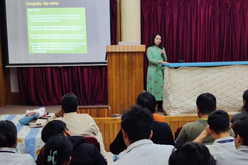
The Department of Civil Engineering organized an invited talk on ‘Geoinformatics and Applications’ on 18th February 2023 by Dr. Archana Nair, Associate Professor, Department of Civil Engineering, IIT Guwahati.
Dr. Nair highlighted various aspects of geoinformatics and its applications and opined that ‘geodesy’, the science of measuring the size, shape, and gravitational field of the Earth, plays a vital role in the study of four surfaces, namely the geoid, ellipsoid, topographic surface, and mean sea level surface. The speaker gave a glimpse on the World Geodetic System 1984 (WGS84), and also mentioned that remote sensing is a technology used to collect information about the Earth’s surface using satellites or aircraft. Different types of remote sensing, such as aerial and satellite remote sensing, and highlighted critical parameters such as spatial resolution, spectral signature, and atmospheric windows was discussed. Dr. Nair also talked about hyperspectral remote sensing and radiometric resolution, which measures the ability of a sensor to distinguish between two objects of different brightness levels. She also explained that satellite navigation is a technology that uses satellite signals to determine the location and time accurately.
Furthermore, the speaker discussed GIS, a system that captures, stores, manages, analyzes, and displays geospatial data and talked about the components of GIS data structure, namely- spatial data, attribute data, and metadata. She also discussed GIS applications in India, such as Bhukosh, a web-based application that provides information about the geological features of India, and Indiawris, a GIS-based tool that helps in groundwater management.
In conclusion, Dr. Nair emphasized the significance of geoinformatics, an interdisciplinary field that has several applications in various areas, including agriculture, urban planning, disaster management, and environmental monitoring.