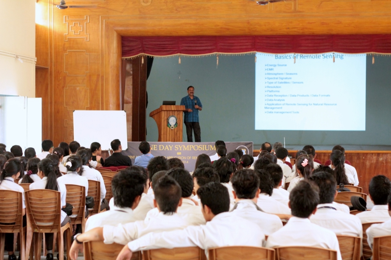
The Department of Civil Engineering conducted a day long symposium on “Recent Advancement and Application of Remote Sensing: GIS and GPS’ today at the School of Engineering’s Auditorium.
The symposium was organized in collaboration with Assam Remote Sensing Application Centre (ARSAC), Assam Science, Technology and Environment Council (ASTEC).
The symposium began at 10:30 a.m. with a welcome note by Dr. Manoranjan Kalita, Principal of the School of Technology which was followed by felicitation of invited dignitaries by 6th semester students.
The resource persons for the symposium included four scientists from ARSAC/ASTEC who delivered talks on different aspects of Remote Sensing, GIS and GPS.
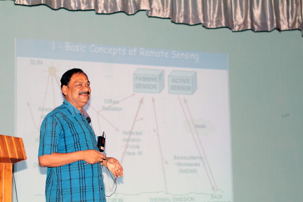
The first talk was delivered by Mr. Utpal Sarma, Senior Scientific Officer and Head, ARSAC on ‘Introduction to Remote Sensing, GIS and Thematic Map making’. The second talk was on ‘Application of Remote Sensing and GIS in Agriculture’ by Dr. C.R. Deka, Senior Scientist, ARSAC. This was followed by a presentation on “Application of Remote Sensing and GIS in Forestry and Ecology” by Senior Scientific Officer Mr. Prasana Barua. The fourth and final presentation was on “Microwave Remote Sensing” by Scientist/Engineer Mr. Abdul Kadir.
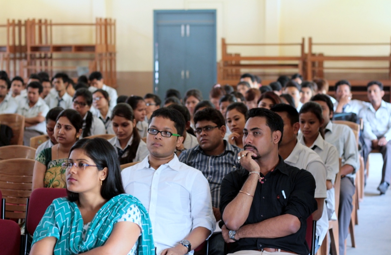
The symposium was attended by 4th and 6th semester students of Civil Engineering students and it concluded at 4 PM.